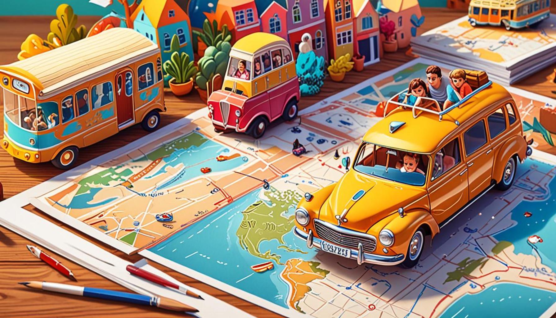
How to Use Interactive Maps to Plan More Dynamic and Visual Travel Itineraries
The Evolution of Travel Planning
As the travel landscape continues to evolve, travelers are no longer confined to traditional methods of exploration. The advent of interactive maps has transformed travel planning into an experience that is not only efficient but also deeply engaging. Utilizing real-time data and user-generated content, these maps cater to the unique preferences and desires of each traveler.
Visualize Your Journey
One of the standout features of interactive maps is the ability to visualize your routes. Imagine perusing through a vibrant map and seeing not just the landmarks but also the actual distances between points of interest. This allows travelers to make informed decisions about how much they can fit into their itinerary. For instance, a weekend trip to San Francisco might include the iconic Golden Gate Bridge, Alcatraz Island, and Fisherman’s Wharf. An interactive map helps you gauge the travel time between these sites, preventing you from over-scheduling and maximizing your enjoyment.
Uncover Hidden Gems
Another compelling aspect of interactive maps is their capability to discover hidden gems. Unlike static guides, these maps offer personalized recommendations based on user interests. Whether you are an art lover seeking the best local galleries in New Orleans or a foodie searching for the hottest taco trucks in Austin, interactive maps can reveal off-the-beaten-path experiences that standard travel brochures often overlook. This level of personalization not only enhances the travel experience but also fosters a deeper connection to the local culture.
Create Tailored Itineraries
With interactive maps, trip planning becomes a creative endeavor. Travelers can create customized itineraries that align with their preferences and schedules. Imagine dragging and dropping destinations in a user-friendly interface to see real-time changes in travel times and routes. You could effortlessly plan a day trip in Washington D.C., balancing visits to the Smithsonian museums with leisurely strolls through the National Mall. Plus, with the ability to share itineraries with friends or fellow travelers instantly, coordination becomes a breeze, enhancing the collective experience of your journey.
Access a Wealth of Information
Interactive maps offer more than just navigation; they provide access to a treasure trove of rich multimedia. Travelers can view photos, read reviews, and obtain crucial tips about destinations—all within the same platform. This integration allows for informed choices that align with personal preferences. For example, if you are considering visiting parks in Chicago, you can explore photos of the stunning landscapes in Millennium Park alongside user reviews of the best time to visit. Such comprehensive resources elevate travel plans from ordinary to extraordinary.

Are you ready to dive into the world of interactive maps and transform the way you plan your travels? Embrace this innovative approach to enhance your adventures and create unforgettable memories, ensuring that your journey begins well before you arrive at your destination.
DISCOVER MORE: Click here for sustainable travel tips
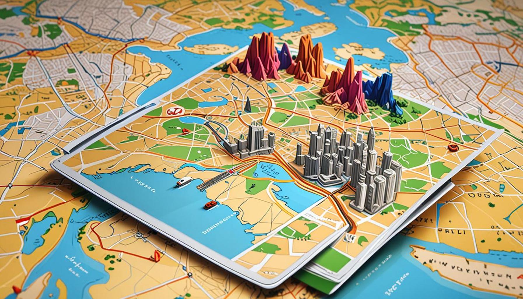
Harnessing the Power of Interactive Maps
As digital technology continues to advance, interactive maps have emerged as indispensable tools for the modern traveler. They not only streamline the travel planning process but also enhance it, allowing for a more dynamic and visual itinerary creation experience. Understanding the capabilities and relevant features of these maps is key to unlocking their full potential for travel planning.
Customizing Your Preferences
When using interactive maps, the first step is to customize your preferences. Most map applications allow users to filter results based on interests, distances, and travel times, making it simpler to craft an itinerary that strictly aligns with personal tastes. Travelers can choose categories such as:
- Cultural landmarks: Museums, historical sites, and art galleries.
- Outdoor activities: Parks, hiking trails, and scenic viewpoints.
- Dining experiences: Restaurants, cafes, and local markets.
- Nightlife options: Bars, theaters, and clubs.
By narrowing down these options, travelers can focus on activities that resonate with their interests, leading to a more fulfilling experience. This tailored approach not only saves time but also ensures that each destination has a purpose, enriching your travel narrative and keeping itineraries fresh and exciting.
Exploring with Layered Information
Another advantage of interactive maps is the ability to access layered information. Many applications offer various overlays that provide context to the destinations being viewed. For instance, users can toggle between different types of maps, such as satellite imagery, street views, and topographical layouts, making it easier to perceive the area’s geography and layout. This feature can help identify:
- Proximity of attractions to each other
- Accessibility for public transportation
- Local amenities like gas stations and rest areas
Visualizing your travel landscape through these layers fosters a deeper understanding of how to navigate the area efficiently. It can significantly influence decision-making when it comes to travel routes and timelines, especially in bustling cities like *New York* or *Los Angeles*, where congestion and distances can alter plans drastically.
Integrating Local Insights
Interactive maps also offer the richness of local insights. By aggregating user-generated tips and experiences, travelers can interact with a globally connected community. Many platforms display reviews, ratings, and photographs that give on-the-ground perspectives, facilitating better choices in destinations. For example, if you’re planning a visit to *Chicago*, reading firsthand accounts from other tourists can reveal crucial information about the best times to visit the *Art Institute*, the most Instagram-worthy spots, and even less known art festivals occurring during your stay. This community aspect not only provides depth to your travel plans but also fosters a spirit of adventure.
Incorporating interactive maps into your travel planning process not only streamlines logistics but also inspires excitement and creativity. This approach allows travelers to see beyond mere destinations; it enables them to craft journeys that are rich with potential discoveries and personal stories. Ready to elevate your travel experience? Explore the myriad features of interactive maps and start planning your next adventure today.
| Advantages | Description |
|---|---|
| Enhanced Visualization | Interactive maps offer a visual representation of travel routes, making it easier to understand distances, locations, and travel plans at a glance. |
| Real-Time Updates | Users can receive real-time information about traffic, weather, and local events, allowing for adjustments to itineraries based on current conditions. |
| Interactive Features | Features like clickable points of interest encourage exploration of nearby attractions, accommodations, and restaurants, enhancing the travel experience. |
| Customizable Itineraries | Travelers can create personalized itineraries by dragging and dropping locations onto the map, allowing for a customized journey that suits their individual preferences. |
Interactive maps are revolutionizing the way we plan travel. By leveraging these digital tools, you can not only visualize your route but also enrich it with engaging content. Imagine being able to effortlessly view potential stops, read reviews, and navigate your journey all from one interactive platform. The ability to enhance itineraries by utilizing dynamic mapping technology not only improves the planning process but also transforms how we experience travel. With accessible platforms and user-friendly interfaces, the adventure begins before you even set foot outside your door. As you explore the various interactive mapping options available, consider the vast potential for crafting memorable travel experiences that go beyond the ordinary. Discover how these tools can lead to a more enriched travel lifestyle and keep the excitement alive every step of the way.
DIVE DEEPER: Click here to learn effective strategies
Maximizing User Interactivity
To fully leverage the advantages of interactive maps in travel planning, it’s essential to embrace the maximization of user interactivity. Unlike traditional maps that present static information, interactive maps allow users to engage with the content actively. This interaction could come in various forms—zooming in on details, clicking on points of interest for deeper insights, or even drawing lines and shapes to define routes and areas of exploration. This capability ultimately empowers travelers to create a personalized travel experience.
Creating and Saving Personal Itineraries
Another significant feature offered by many interactive map applications is the ability to create and save personal itineraries. Users can bookmark locations they plan to visit and map out their journey right on the platform. This feature is particularly useful when traveling to a new city, as it allows tourists to visualize their route beforehand, manage time efficiently, and avoid last-minute confusion. For example, users planning a trip to *San Francisco* can mark iconic sites like the *Golden Gate Bridge*, *Fisherman’s Wharf*, and *Chinatown*, enabling them to plan an efficient route that minimizes travel time while maximizing exploration.
Furthermore, some applications allow travelers to share their itineraries with friends or fellow explorers, cultivating a sense of shared adventure. Social interaction in travel planning can ignite discussions and inspire alternative perspectives, enhancing the itinerary-making experience.
Utilizing Real-Time Updates
One of the game-changing capabilities of interactive maps lies in their ability to provide real-time updates on conditions such as traffic, weather, and local events. This information can significantly influence travel decisions. For instance, if a map indicates heavy traffic along a planned route to a popular museum in *Washington D.C.*, users can easily pivot to an alternative route that bypasses gridlock. Moreover, real-time weather updates can prompt adjustments to outdoor itineraries, steering travelers away from rain-soaked parks or unexpected heat waves.
Utilizing these updates can lead to more spontaneous and enjoyable experiences. Travelers who remain flexible and adapt their plans based on current conditions can stumble upon hidden gems or take advantage of local festivities they were unaware of before their trip.
Innovative Features for Enhanced Experiences
Many interactive map platforms come equipped with additional innovative features aimed at enhancing the traveler’s experience. Augmented Reality (AR), for instance, is becoming increasingly integrated into map applications. This technology allows users to view their surroundings through their device’s camera while simultaneously displaying information on what they’re looking at—such as nearby restaurants, historical landmarks, and unique shops—overlaid onto the live video feed. This immersive element not only adds interest to exploring but also enhances understanding of locations in real-time.
- Offline Capabilities: Some map applications allow users to download maps for offline use, ensuring accessibility even without data or Wi-Fi.
- Multi-Route Planning: Advanced mapping features enable travelers to plan multiple routes for a single day, accommodating various interests or pit stops along the way.
- Visual Storytelling: The incorporation of visual aids like photos, videos, and user stories fosters a richer understanding of destinations before arriving.
By diversifying the way travelers interact with their itineraries, these innovative features enrich the overall journey and bring about a more personalized approach to travel.
DIVE DEEPER: Click here to discover more about authentic cultural experiences
Final Thoughts on Enhancing Travel Itineraries with Interactive Maps
In conclusion, the evolution of interactive maps has transformed the way travelers approach their journey planning. By fully utilizing the features such as user interactivity, personalized itinerary creation, real-time updates, and innovative tools like Augmented Reality, explorers can craft dynamic and visually appealing travel plans that cater to their unique interests and preferences. These maps not only present a plethora of information but also invite users to become active participants in shaping their adventures.
The ability to access live updates on traffic conditions, weather forecasts, and local events empowers travelers to remain flexible, thereby enhancing their overall experience. This adaptability can lead to spontaneous decisions that uncover hidden gems or exciting activities that traditional planning might overlook. Moreover, the incorporation of multimodal features and offline capabilities ensures that these interactive maps remain accessible and user-friendly, accommodating a variety of travel contexts.
For those keen on exploring the ever-expanding landscape of travel technology, diving deeper into the diverse applications of interactive maps opens up a realm of possibilities. As we continue to navigate the globe, embracing these digital tools not only enriches our journeys but also fosters a sense of connection to the places we visit. So, whether planning a road trip, a city tour, or an international adventure, consider implementing interactive maps to elevate your travel experience and create unforgettable memories.